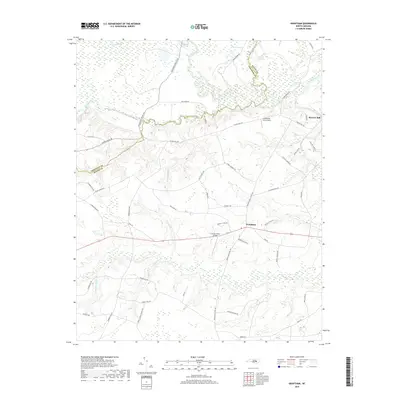
2019 Map of Grantham
USGS Topo · Published 2019About this map
Grantham serves as the central hub of this eastern North Carolina landscape, where the agricultural traditions of Wayne Co and Johnston Co meet. The northern reaches are defined by the winding course of the Neuse River, which is fed by numerous tributaries including Mill Creek and Raccoon Swamp. This area retains a strong connection to its milling history, evidenced by the presence of Stevens Mill and drainage features like Kennedy Mill Br and Raynor Mill Br.
Find a feature on this map
52 named features on this map. Tap any name to fly to it.
Don’t see what you’re looking for? This feature index may not catch every label — zoom into the map to look around manually.
Map Details
Editions of this 2019 Grantham Map
This is the sole edition of this map. No revisions or reprints were ever made.
Other maps of this area
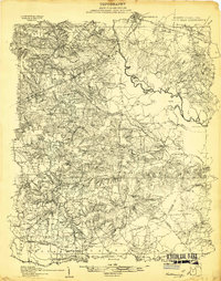
1906 · Four Oaks
USGS Topo · 1:48,000
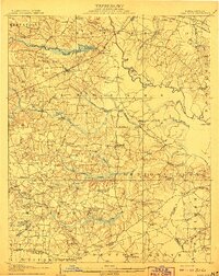
1908 · Four Oaks
USGS Topo · 1:62,500
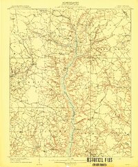
1909 · Coharie
USGS Topo · 1:62,500
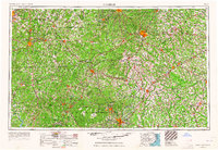
1953 · Raleigh
USGS Topo · 1:250,000
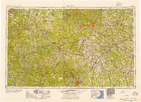
1954 · Raleigh
USGS Topo · 1:250,000
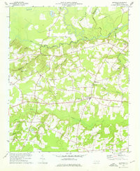
1974 · Grantham
USGS Topo · 1:24,000
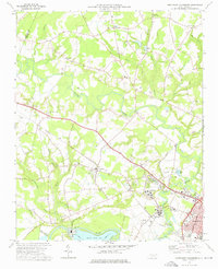
1974 · Northwest Goldsboro
USGS Topo · 1:24,000
1974 · Princeton
USGS Topo · 1:24,000
1974 · Southwest Goldsboro
USGS Topo · 1:24,000
1977 · Mount Olive
USGS Topo · 1:24,000