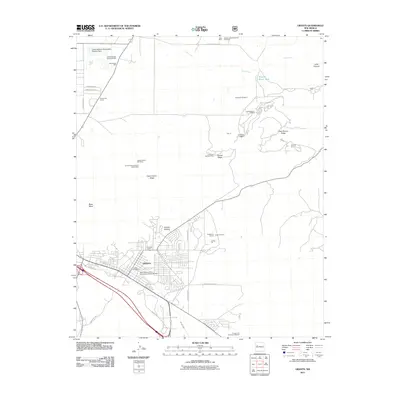
2011 Map of Grants
USGS Topo · Published 2011About this map
The uranium and perlite mining legacy of western New Mexico is clearly visible on this landscape, dominated by the settlement of Grants and its industrial outskirts. Extensive milling and mining operations are scattered across the high terrain, including the United Nuclear-Homestake Mill to the north and the United States Gypsum Perlite Mine situated near West Grants Ridge. These sites, along with the Grants Perlite Mill Mine, represent the region's mid-century economic backbone, while the presence of the New Mexico State University Grants Branch indicates the town's role as a regional educational hub.
Find a feature on this map
42 named features on this map. Tap any name to fly to it.
Don’t see what you’re looking for? This feature index may not catch every label — zoom into the map to look around manually.
Map Details
Editions of this 2011 Grants Map
This is the sole edition of this map. No revisions or reprints were ever made.
Other maps of this area
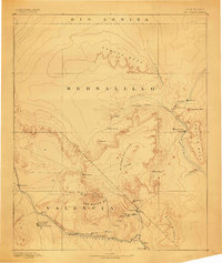
1883 · Mt. Taylor
USGS Topo · 1:250,000
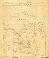
1886 · Mt. Taylor
USGS Topo · 1:250,000
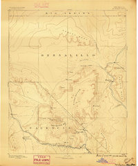
1892 · Mt. Taylor
USGS Topo · 1:250,000
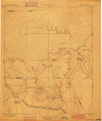
1899 · Mt. Taylor
USGS Topo · 1:250,000
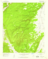
1957 · San Rafael
USGS Topo · 1:24,000
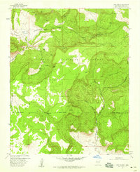
1957 · Lobo Springs
USGS Topo · 1:24,000
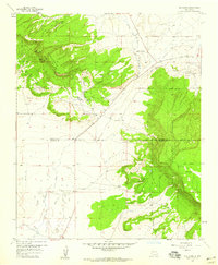
1957 · Dos Lomas
USGS Topo · 1:24,000
1957 · Grants SE
USGS Topo · 1:24,000
1957 · Bluewater
USGS Topo · 1:24,000
1957 · Mc Cartys
USGS Topo · 1:24,000