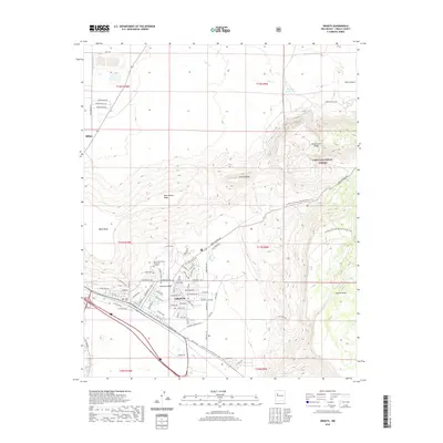
2020 Map of Grants
USGS Topo · Published 2020About this map
Grants and the neighboring village of Milan are shown here at the foot of massive volcanic plateaus. The municipal center is clearly defined by the Cibola County Courthouse and the campus of New Mexico State University - Grants, which sit between the southern edge of the Cibola National Forest and the Rio San Jose. The landscape is dominated by elevation changes, from the heights of Black Mesa and Horace Mesa to the rugged terrain of Grants Ridge and East Grants Ridge. The Continental Divide National Scenic Trail winds through the eastern portion of the map, descending from the mesas toward the town's northern reaches. This 2020 record captures the intricate street network of the area, including the many residential roads north of the historic city center, such as N Hills Blvd and Del Norte Blvd.
Find a feature on this map
74 named features on this map. Tap any name to fly to it.
Don’t see what you’re looking for? This feature index may not catch every label — zoom into the map to look around manually.
Map Details
Editions of this 2020 Grants Map
This is the sole edition of this map. No revisions or reprints were ever made.
Other maps of this area

1883 · Mt. Taylor
USGS Topo · 1:250,000

1886 · Mt. Taylor
USGS Topo · 1:250,000

1892 · Mt. Taylor
USGS Topo · 1:250,000

1899 · Mt. Taylor
USGS Topo · 1:250,000

1957 · San Rafael
USGS Topo · 1:24,000

1957 · Lobo Springs
USGS Topo · 1:24,000

1957 · Dos Lomas
USGS Topo · 1:24,000

1957 · Grants SE
USGS Topo · 1:24,000

1957 · Bluewater
USGS Topo · 1:24,000

1957 · Mc Cartys
USGS Topo · 1:24,000