Loading...
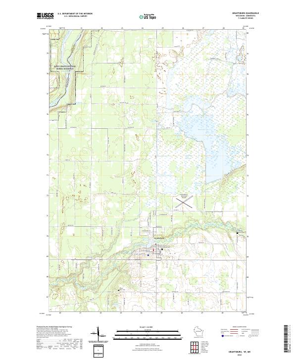
Loading map...1985 Map of Grantsburg
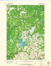
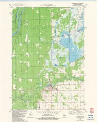
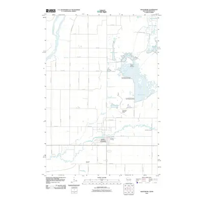
USGS Topo · Published 1991About this map
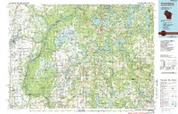
The St Croix River corridor defines the border between Wisconsin and Minnesota in this mid-1980s landscape, where vast wetlands and protected forests dominate the geography. Extensive conservation areas such as Crex Meadows State Wildlife Area and Governor Knowles State Forest illustrate a region dedicated to wildlife management and state-managed timberlands. The Soo Line railroad cuts a diagonal path through several eastern settlements, providing a vital transport artery for communities like Frederic and Luck.
Find a feature on this map
150 named features on this map. Tap any name to fly to it.
Don’t see what you’re looking for? This feature index may not catch every label — zoom into the map to look around manually.
Map Details
Date Portrayed1985
Date Published1991
PublisherU.S. Geological Survey
Map TypeTopographic
Scale1:100,000
Physical Dimensions37.69 x 24.03 inches
Editions of this 1985 Grantsburg Map
2 editions found

Historical Maps of North Branch Through Time
9 maps found

Featured Locations
Source Details
SourceU.S. Geological Survey
CopyrightPublic Domain