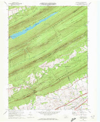
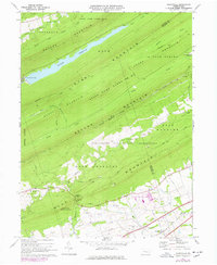
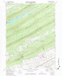
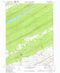
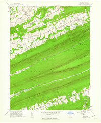
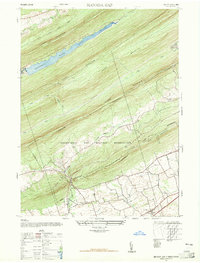
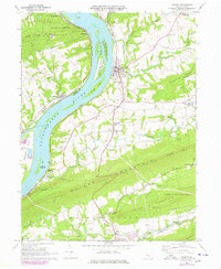
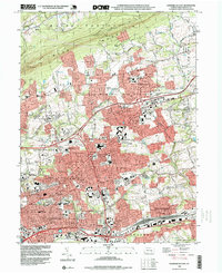
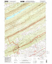
1969 Map of Grantville
USGS Topo · Published 1972This historical map portrays the area of Grantville in 1969, primarily covering Dauphin County as well as portions of Lebanon County. Featuring a scale of 1:24000, this map provides a highly detailed snapshot of the terrain, roads, buildings, counties, and historical landmarks in the Grantville region at the time. Published in 1972, it is one of 6 known editions of this map due to revisions or reprints.
Find a feature on this map
48 named features on this map. Tap any name to fly to it.
Don’t see what you’re looking for? This feature index may not catch every label — zoom into the map to look around manually.
Map Details
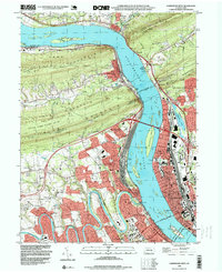
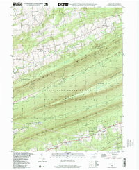
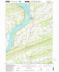
Editions of this 1969 Grantville Map
6 editions found

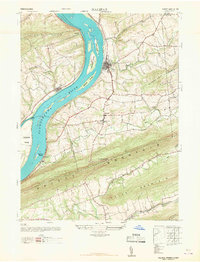
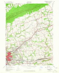
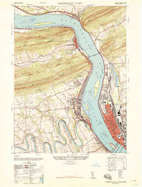
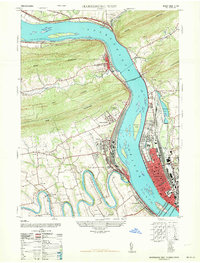
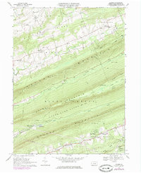
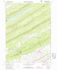
Historical Maps of East Hanover Township Through Time
17 maps found
1947 Enders
Dauphin County, PA
1947 Halifax
Dauphin County, PA
1947 Harrisburg East
Dauphin County, PA
1947 Harrisburg West
Dauphin County, PA
1947 Manada Gap
Dauphin County, PA
1963 Harrisburg West
Dauphin County, PA
1969 Enders
Dauphin County, PA
1969 Grantville
Dauphin County, PA
1969 Halifax
Dauphin County, PA
1969 Harrisburg East
Dauphin County, PA
1969 Harrisburg West
Dauphin County, PA
1977 Halifax
Dauphin County, PA
1993 Harrisburg East
Dauphin County, PA
1993 Harrisburg West
Dauphin County, PA
1995 Enders
Dauphin County, PA
1995 Halifax
Dauphin County, PA
1999 Grantville
Dauphin County, PA
Featured Locations
- Jefferson Township, PA
- West Hanover Township, PA
- East Hanover Township, PA
- Union Township, PA
- Manada Gap, East Hanover Township