
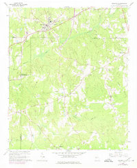
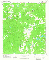
1964 Map of Grantville
USGS Topo · Published 1966About this map
Grantville serves as the primary hub on this mid-1960s survey, positioned at the convergence of the Atlanta and West Point rail line and local transit routes. The landscape transitions between the industrial presence of the Water Tank and Metering Station near the town center to a dense network of rural community landmarks. Significant local history is preserved in the numerous family and community burial grounds, such as Meddas Cem, Stevens Cem, and Bradberry Cem, which dot the terrain between Yellowjacket Creek and Flat Creek.
Find a feature on this map
39 named features on this map. Tap any name to fly to it.
Don’t see what you’re looking for? This feature index may not catch every label — zoom into the map to look around manually.
Map Details
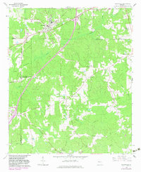
Editions of this 1964 Grantville Map
Other maps of this area

1953 · Atlanta
USGS Topo · 1:250,000

1957 · Atlanta
USGS Topo · 1:250,000

1958 · Atlanta
USGS Topo · 1:250,000

1964 · Hogansville
USGS Topo · 1:24,000
1964 · Mountville
USGS Topo · 1:24,000
1964 · Odessadale
USGS Topo · 1:24,000

1965 · Newnan South
USGS Topo · 1:24,000
1965 · Newnan SW
USGS Topo · 1:24,000

1965 · Sharpsburg
USGS Topo · 1:24,000
1971 · Luthersville
USGS Topo · 1:24,000