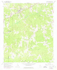
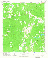
1964 Map of Grantville
USGS Topo · Published 1975About this map
The West Point and Atlanta railroad corridor anchors the northern edge of this West Georgia landscape, connecting the town of Grantville to the surrounding rural hubs. The terrain is defined by the headwaters of Yellowjacket Creek and Blue Creek, where family and community landmarks such as Bradberry Cem and Macedonia Ch indicate the deep-rooted settlement patterns of Coweta and Meriwether Counties. Small crossroads like Lone Oak and St Marks appear as concentrated points of community life, each supported by local institutions including St Pauls Ch and Allen-Lee Memorial Ch.
Find a feature on this map
40 named features on this map. Tap any name to fly to it.
Don’t see what you’re looking for? This feature index may not catch every label — zoom into the map to look around manually.
Map Details
Editions of this 1964 Grantville Map
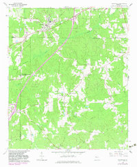
Other maps of this area

1953 · Atlanta
USGS Topo · 1:250,000

1957 · Atlanta
USGS Topo · 1:250,000

1958 · Atlanta
USGS Topo · 1:250,000

1964 · Hogansville
USGS Topo · 1:24,000
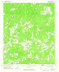
1964 · Mountville
USGS Topo · 1:24,000

1964 · Grantville
USGS Topo · 1:24,000
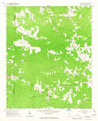
1964 · Odessadale
USGS Topo · 1:24,000

1965 · Newnan South
USGS Topo · 1:24,000
1965 · Newnan SW
USGS Topo · 1:24,000

1965 · Sharpsburg
USGS Topo · 1:24,000