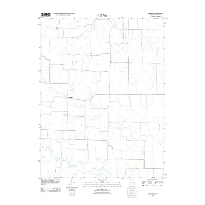
2012 Map of Granville
USGS Topo · Published 2012About this map
Granville serves as the central hub of this agricultural landscape in Monroe County, where the sprawling drainage of the Middle Fork Salt River and its numerous tributaries dictate the local geography. The map reveals a rural network of county roads connecting family landmarks and infrastructure, such as the Carl Ensor Airport and Spencer Chapel Cemetery. Water is the defining natural feature of the area, with Otter Creek winding past the main settlement and Crooked Creek cutting through the northern reaches. The presence of Dye Lake and its associated Dye Lake Dam highlights local water management and recreation within this prairie and river-bottom environment. This survey provides a clear view of early 21st-century land use, showing the persistence of traditional settlements and the importance of the river systems to the regional layout.
Find a feature on this map
65 named features on this map. Tap any name to fly to it.
Don’t see what you’re looking for? This feature index may not catch every label — zoom into the map to look around manually.
Map Details
Editions of this 2012 Granville Map
This is the sole edition of this map. No revisions or reprints were ever made.
Other maps of this area

1890 · Mexico
USGS Topo · 1:125,000

1890 · Moberly
USGS Topo · 1:125,000

1903 · Palmyra
USGS Topo · 1:125,000

1945 · Florida
USGS Topo · 1:62,500

1948 · Quincy
USGS Topo · 1:250,000

1953 · Moberly
USGS Topo · 1:250,000

1954 · Moberly
USGS Topo · 1:250,000

1956 · Quincy
USGS Topo · 1:250,000

1957 · Moberly
USGS Topo · 1:250,000

1958 · Lentner
USGS Topo · 1:24,000