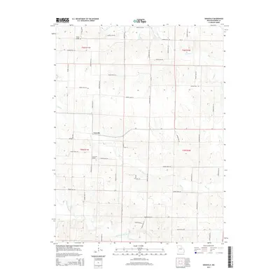
2014 Map of Granville
USGS Topo · Published 2014About this map
Granville serves as the central hub of this Missouri landscape, where a network of county roads like Monroe Road 217 and Monroe Road 219 connect scattered farmsteads across the township lines of t56n r11w and t55n r11w. The terrain is defined by the winding passage of the Middle Fork Salt River and its many tributaries, including Otter Cr and Crooked Cr, which have shaped the local topography into a series of ridges and valleys. Evidence of community history is preserved at the Spencer Chapel Cemetery in the northwestern corner of the quadrangle. Modern infrastructure is represented by the Carl Ensor Airport located south of the main settlement, while the road system, including Mo-CC and Mo-A, continues to follow the section lines established by early surveys.
Find a feature on this map
51 named features on this map. Tap any name to fly to it.
Don’t see what you’re looking for? This feature index may not catch every label — zoom into the map to look around manually.
Map Details
Editions of this 2014 Granville Map
This is the sole edition of this map. No revisions or reprints were ever made.
Other maps of this area
1890 · Mexico
USGS Topo · 1:125,000
1890 · Moberly
USGS Topo · 1:125,000
1903 · Palmyra
USGS Topo · 1:125,000
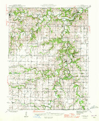
1945 · Florida
USGS Topo · 1:62,500
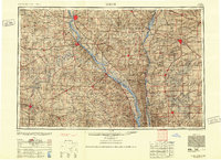
1948 · Quincy
USGS Topo · 1:250,000
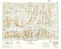
1953 · Moberly
USGS Topo · 1:250,000
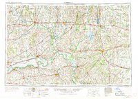
1954 · Moberly
USGS Topo · 1:250,000
1956 · Quincy
USGS Topo · 1:250,000
1957 · Moberly
USGS Topo · 1:250,000
1958 · Lentner
USGS Topo · 1:24,000