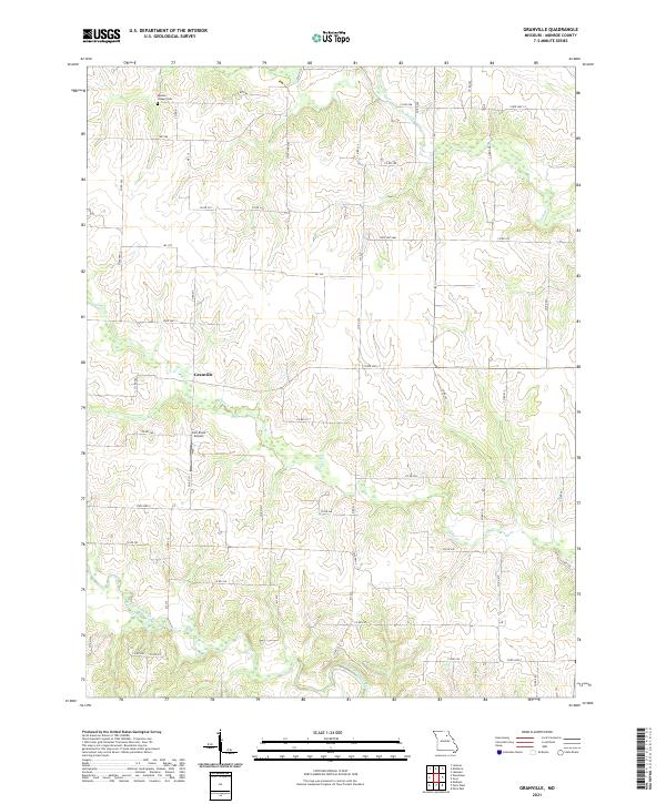
2021 Map of Granville
USGS Topo · Published 2021About this map
The Middle Fork Salt River meanders across the southern portion of this Monroe County landscape, defining the local drainage and topography in the early 2020s. Centered in the quadrangle, the small community of Granville sits at the intersection of a sprawling rural road network, which includes Co RD 217 and Co RD 239. The map provides a detailed view of these rural connections, often following the high ground between creek beds like Otter Cr and Crooked Cr.
Find a feature on this map
51 named features on this map. Tap any name to fly to it.
Don’t see what you’re looking for? This feature index may not catch every label — zoom into the map to look around manually.
Map Details
Editions of this 2021 Granville Map
This is the sole edition of this map. No revisions or reprints were ever made.
Other maps of this area

1890 · Mexico
USGS Topo · 1:125,000

1890 · Moberly
USGS Topo · 1:125,000

1903 · Palmyra
USGS Topo · 1:125,000

1945 · Florida
USGS Topo · 1:62,500

1948 · Quincy
USGS Topo · 1:250,000

1953 · Moberly
USGS Topo · 1:250,000

1954 · Moberly
USGS Topo · 1:250,000

1956 · Quincy
USGS Topo · 1:250,000

1957 · Moberly
USGS Topo · 1:250,000

1958 · Lentner
USGS Topo · 1:24,000