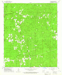
1964 Map of Grapevine
USGS Topo · Published 1966About this map
Grapevine serves as a central point in this mid-1960s landscape, which is divided between the Darysaw and Madison townships. The area is defined by a dense network of tributaries including Hurricane Creek, Clegg Creek, and Derrieusseaux Creek, which drain a heavily wooded and rural terrain. A strong sense of community is evident through the many dispersed local institutions, such as Hedden Chapel, Pine Ridge Ch, and the combined facility of the St Paul Sch and St Paul Ch.
Find a feature on this map
28 named features on this map. Tap any name to fly to it.
Don’t see what you’re looking for? This feature index may not catch every label — zoom into the map to look around manually.
Map Details
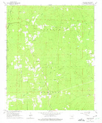
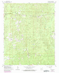
Editions of this 1964 Grapevine Map
Other maps of this area

1932 · Pastoria
USGS Topo · 1:62,500

1935 · Pastoria
USGS Topo · 1:62,500

1955 · Little Rock
USGS Topo · 1:250,000

1956 · Little Rock
USGS Topo · 1:250,000

1960 · Little Rock
USGS Topo · 1:250,000

1962 · Pine Bluff NW
USGS Topo · 1:24,000

1962 · Kedron
USGS Topo · 1:24,000

1964 · Little Rock
USGS Topo · 1:250,000

1964 · Staves
USGS Topo · 1:24,000

1964 · Sheridan
USGS Topo · 1:24,000