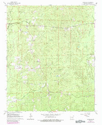
1964 Map of Grapevine
USGS Topo · Published 1984About this map
Grapevine serves as a central hub for this rural stretch of Grant County, where the landscape is defined by the complex drainage systems of Hurricane Creek and Derrieusseaux Creek. The area maintains a strong communal identity through a network of country churches and family burial grounds, such as Hedden Chapel, Sardis Ch, and St John Cem. A notable geographic concentration of services appears along the northern roads, where St Paul Ch and St Paul Sch once anchored local education and social life. The terrain is marked by timbered hills and low-lying drainages like Big Caney Creek and White Oak Creek. Small-scale industry is evidenced by Gravel Pits in the northwest, while a Gaging Station on the western edge suggests the importance of water management in this creek-bound territory.
Find a feature on this map
30 named features on this map. Tap any name to fly to it.
Don’t see what you’re looking for? This feature index may not catch every label — zoom into the map to look around manually.
Map Details
Editions of this 1964 Grapevine Map
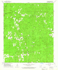
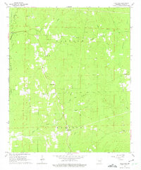
Other maps of this area

1932 · Pastoria
USGS Topo · 1:62,500

1935 · Pastoria
USGS Topo · 1:62,500

1955 · Little Rock
USGS Topo · 1:250,000

1956 · Little Rock
USGS Topo · 1:250,000

1960 · Little Rock
USGS Topo · 1:250,000

1962 · Pine Bluff NW
USGS Topo · 1:24,000

1962 · Kedron
USGS Topo · 1:24,000

1964 · Little Rock
USGS Topo · 1:250,000

1964 · Staves
USGS Topo · 1:24,000

1964 · Sheridan
USGS Topo · 1:24,000