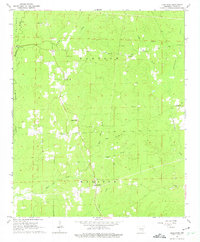
1964 Map of Grapevine
USGS Topo · Published 1975About this map
Grapevine and the surrounding timberlands of Grant County are defined by a dense network of watercourses and rural community landmarks in the mid-1960s. The landscape is carved by Derrieusseaux Creek and Hurricane Creek, where a Gaging Station monitors the flow. This era shows a community rooted in its local institutions, evidenced by the numerous small congregations and burial grounds such as Heddon Chapel, St Paul Ch, and the White Cem.
Find a feature on this map
31 named features on this map. Tap any name to fly to it.
Don’t see what you’re looking for? This feature index may not catch every label — zoom into the map to look around manually.
Map Details
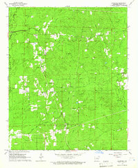
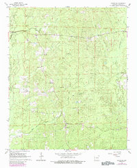
Editions of this 1964 Grapevine Map
Other maps of this area

1932 · Pastoria
USGS Topo · 1:62,500

1935 · Pastoria
USGS Topo · 1:62,500

1955 · Little Rock
USGS Topo · 1:250,000

1956 · Little Rock
USGS Topo · 1:250,000

1960 · Little Rock
USGS Topo · 1:250,000

1962 · Pine Bluff NW
USGS Topo · 1:24,000

1962 · Kedron
USGS Topo · 1:24,000

1964 · Little Rock
USGS Topo · 1:250,000

1964 · Staves
USGS Topo · 1:24,000

1964 · Sheridan
USGS Topo · 1:24,000