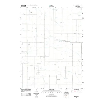
2010 Map of Grass Creek
USGS Topo · Published 2010About this map
Grass Creek serves as the central community of this agricultural landscape, situated within a dense network of drainage canals that define the region's topography. The area is marked by a significant number of burial grounds, providing a rich resource for genealogical research, including Old Indian Creek Cemetery, Victor Chapel Cemetery, and Saint Anns Cemetery. The reliance on managed water systems is evident through numerous named waterways such as Sneep Ditch, Callahan Ditch, and Costello Ditch, which channel water toward Indian Creek and Mill Creek. This 2010 survey also identifies local landmarks like Plummer Airport and O'Brien Lake, reflecting a mix of traditional rural infrastructure and modern land use.
Find a feature on this map
67 named features on this map. Tap any name to fly to it.
Don’t see what you’re looking for? This feature index may not catch every label — zoom into the map to look around manually.
Map Details
Editions of this 2010 Grass Creek Map
This is the sole edition of this map. No revisions or reprints were ever made.
Other maps of this area

1953 · Chicago
USGS Topo · 1:250,000

1953 · Danville
USGS Topo · 1:250,000

1955 · Danville
USGS Topo · 1:250,000

1955 · Logansport
USGS Topo · 1:24,000

1956 · Danville
USGS Topo · 1:250,000

1957 · Chicago
USGS Topo · 1:250,000

1960 · Lucerne
USGS Topo · 1:24,000

1960 · Fulton
USGS Topo · 1:24,000

1960 · Grass Creek
USGS Topo · 1:24,000

1962 · Pershing
USGS Topo · 1:24,000