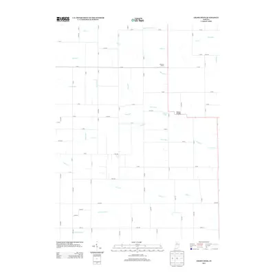
2013 Map of Grass Creek
USGS Topo · Published 2013About this map
Grass Creek serves as the central point for this agricultural landscape, where the flat terrain of Fulton County is defined by an intricate network of drainage channels. Water management is the primary architectural feature of the land, seen through the extensive system of ditches like Sneep Gillespie Ditch, Walsh Ditch, and Costello Ditch that feed into natural watercourses. These man-made improvements speak to the region's long history of reclaiming marshland for fertile farmland.
Find a feature on this map
69 named features on this map. Tap any name to fly to it.
Don’t see what you’re looking for? This feature index may not catch every label — zoom into the map to look around manually.
Map Details
Editions of this 2013 Grass Creek Map
This is the sole edition of this map. No revisions or reprints were ever made.
Other maps of this area

1953 · Chicago
USGS Topo · 1:250,000

1953 · Danville
USGS Topo · 1:250,000

1955 · Danville
USGS Topo · 1:250,000

1955 · Logansport
USGS Topo · 1:24,000

1956 · Danville
USGS Topo · 1:250,000

1957 · Chicago
USGS Topo · 1:250,000

1960 · Lucerne
USGS Topo · 1:24,000

1960 · Fulton
USGS Topo · 1:24,000

1960 · Grass Creek
USGS Topo · 1:24,000

1962 · Pershing
USGS Topo · 1:24,000