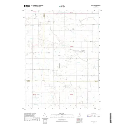
2019 Map of Grass Creek
USGS Topo · Published 2019About this map
Grass Creek serves as the central hub of this agricultural landscape, situated at the crossroads where the county lines of Pulaski, Fulton, and Cass converge. This 2019 survey illustrates a countryside defined by an extensive drainage network, including Mill Cr, Grassy Cr, and Little Indian Cr, which support the surrounding farmsteads. The area is dotted with historical markers of family and community heritage, such as Mull Cem and Bauman Cem, alongside the Victor Chapel Cem.
Find a feature on this map
62 named features on this map. Tap any name to fly to it.
Don’t see what you’re looking for? This feature index may not catch every label — zoom into the map to look around manually.
Map Details
Editions of this 2019 Grass Creek Map
This is the sole edition of this map. No revisions or reprints were ever made.
Other maps of this area

1953 · Chicago
USGS Topo · 1:250,000

1953 · Danville
USGS Topo · 1:250,000

1955 · Danville
USGS Topo · 1:250,000

1955 · Logansport
USGS Topo · 1:24,000

1956 · Danville
USGS Topo · 1:250,000

1957 · Chicago
USGS Topo · 1:250,000

1960 · Lucerne
USGS Topo · 1:24,000

1960 · Fulton
USGS Topo · 1:24,000

1960 · Grass Creek
USGS Topo · 1:24,000

1962 · Pershing
USGS Topo · 1:24,000