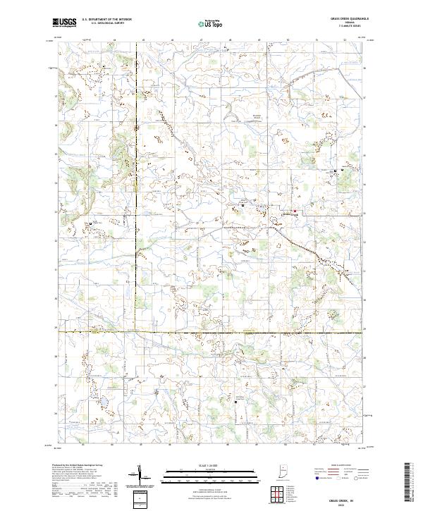
2022 Map of Grass Creek
USGS Topo · Published 2022About this map
Grass Creek serves as a central hub in this agricultural landscape where the borders of Fulton, Pulaski, and Cass counties converge. The terrain is defined by an extensive network of drainage infrastructure, featuring named channels such as Sneep Gillespie Ditch, Prather Ditch, and Weasner Ditch that manage the headwaters of Indian Creek and Mill Creek. This 2022 survey reveals a rural fabric maintained through generations, evidenced by numerous small burial grounds including Mull Cemetery and Old Indian Creek Cemetery. Small-scale aviation is represented by Plummer Airport, while O'Brien Lake and various segments of Grassy Creek highlight the natural hydrology that persisted despite the widespread tiling and ditching of the surrounding farmland.
Find a feature on this map
64 named features on this map. Tap any name to fly to it.
Don’t see what you’re looking for? This feature index may not catch every label — zoom into the map to look around manually.
Map Details
Editions of this 2022 Grass Creek Map
This is the sole edition of this map. No revisions or reprints were ever made.
Other maps of this area

1953 · Chicago
USGS Topo · 1:250,000

1953 · Danville
USGS Topo · 1:250,000

1955 · Danville
USGS Topo · 1:250,000

1955 · Logansport
USGS Topo · 1:24,000

1956 · Danville
USGS Topo · 1:250,000

1957 · Chicago
USGS Topo · 1:250,000

1960 · Lucerne
USGS Topo · 1:24,000

1960 · Fulton
USGS Topo · 1:24,000

1960 · Grass Creek
USGS Topo · 1:24,000

1962 · Pershing
USGS Topo · 1:24,000