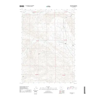
2017 Map of Grass Creek
USGS Topo · Published 2017About this map
Grass Creek serves as the focal point of this High Plains landscape in Hot Springs County, situated within the broad Grass Creek Basin. The terrain is defined by a series of significant erosional features, most notably Coalmine Draw and Sand Draw, which indicate the area's geological and perhaps industrial history. Water is seasonal and sparse, with Gooseberry Cr and Grass Cr providing the primary drainage across the township lines. A network of ranching roads, including Dickie Ranch Rd and Lu Ranch Rd, connects the isolated settlements to the larger region. The map reveals a specialized landscape where human activity is tied closely to the land's natural draws and gulches, such as Spring Gulch, reflecting the enduring ranching and resource extraction patterns of this portion of Wyoming.
Find a feature on this map
19 named features on this map. Tap any name to fly to it.
Don’t see what you’re looking for? This feature index may not catch every label — zoom into the map to look around manually.
Map Details
Editions of this 2017 Grass Creek Map
This is the sole edition of this map. No revisions or reprints were ever made.
Other maps of this area
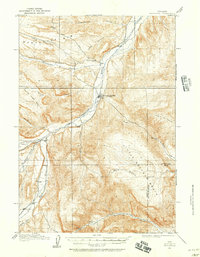
1911 · Meeteetse
USGS Topo · 1:62,500
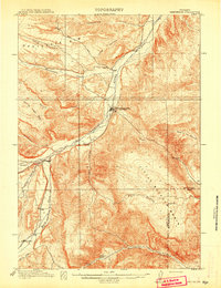
1913 · Meeteetse
USGS Topo · 1:62,500
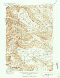
1913 · Grass Creek Basin
USGS Topo · 1:62,500
1915 · Grass Creek Basin
USGS Topo · 1:62,500
1951 · Hillberry Rim
USGS Topo · 1:24,000
1951 · Gillies Draw
USGS Topo · 1:24,000
1955 · Cody
USGS Topo · 1:250,000
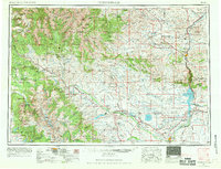
1955 · Thermopolis
USGS Topo · 1:250,000
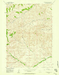
1956 · Twentyone Creek
USGS Topo · 1:24,000
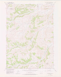
1956 · Adam Weiss Peak
USGS Topo · 1:24,000