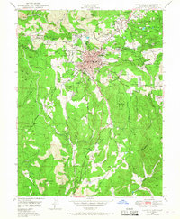
1949 Map of Grass Valley
USGS Topo · Published 1968About this map
Grass Valley and its surrounding hills serve as the centerpiece of this mid-century Nevada County survey, revealing a landscape defined by the legacies of the California Gold Rush. The map documents an intensive subterranean industrial network, marking major sites like the Empire Mine, the Idaho-Maryland Mine, and the North Star Mine. These workings, along with numerous prospects and inactive sites such as the Last Chance Mine, show how gold extraction shaped the regional layout, from the residential clusters at Boston Ravine and Alta Hill to the water management systems of the Banner Reservoir and the South Fork Wolf Creek. Local genealogy and community life are reflected in the presence of St Marys Acad, Greenwood Mem Cem, and the Fair Grounds, while early aviation is represented by both Gilmore Airport and the Loma Rica Airport.
Find a feature on this map
75 named features on this map. Tap any name to fly to it.
Don’t see what you’re looking for? This feature index may not catch every label — zoom into the map to look around manually.
Map Details
Editions of this 1949 Grass Valley Map
3 editions found
Other maps of this area

1888 · Smartsville
USGS Topo · 1:125,000

1891 · Colfax
USGS Topo · 1:125,000

1891 · Smartsville
USGS Topo · 1:125,000

1892 · Smartsville
USGS Topo · 1:125,000

1892 · Colfax
USGS Topo · 1:125,000

1894 · Colfax
USGS Topo · 1:125,000

1894 · Smartsville
USGS Topo · 1:125,000

1895 · Smartsville
USGS Topo · 1:125,000

1898 · Colfax
USGS Topo · 1:125,000

1900 · Colfax
USGS Topo · 1:125,000