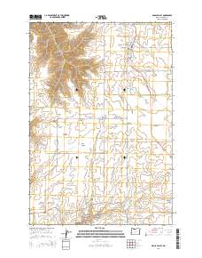
2014 Map of Grass Valley
USGS Topo · Published 2014About this map
The high plateau of Sherman County is defined here by a network of drainage systems feeding into the Deschutes River basin. Grass Valley serves as the primary hub, with its grid of streets such as SW Sharp St and S Mill St situated along the Us-97 corridor. The surrounding landscape is carved by numerous namesake coulees and ravines, including French Canyon, Macks Canyon, and the sprawling Finnegan Canyon. These landforms reveal the historic reliance on seasonal water management in this dryland wheat country, evidenced by the Buether Reservoir and the presence of Finnegan Cr.
Find a feature on this map
48 named features on this map. Tap any name to fly to it.
Don’t see what you’re looking for? This feature index may not catch every label — zoom into the map to look around manually.
Map Details
Editions of this 2014 Grass Valley Map
This is the sole edition of this map. No revisions or reprints were ever made.
Other maps of this area
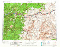
1953 · The Dalles
USGS Topo · 1:250,000
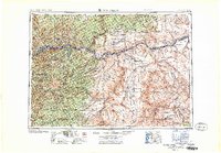
1956 · The Dalles
USGS Topo · 1:250,000
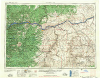
1957 · The Dalles
USGS Topo · 1:250,000
1962 · Erskine
USGS Topo · 1:24,000
1962 · Summit Ridge
USGS Topo · 1:24,000
1962 · Sinamox
USGS Topo · 1:24,000
1962 · Grass Valley
USGS Topo · 1:24,000
1970 · Kent
USGS Topo · 1:24,000
1970 · Rosebush
USGS Topo · 1:24,000
1971 · Moro
USGS Topo · 1:24,000