
2017 Map of Grass Valley
USGS Topo · Published 2017About this map
Grass Valley serves as the primary hub of this high-plateau landscape in Sherman County, where the grid of city streets like Market St and Mill St meets a wide network of canyon systems. The geography is defined by deep incisions in the terrain, such as Grass Valley Canyon and Cottonwood Canyon, which break the agricultural tableland. For those researching local pioneers or family ties, the Michigan Cem is a notable landmark located just south of Macks Canyon. Water sources are sparse but critical in this region, represented here by Buether Reservoir and the drainage of Finnegan Cr. The map captures a transition from town life to the expansive canyonlands of Sand Hollow and Grimes Canyon, reflecting the enduring rural character of this part of the Columbia Plateau.
Find a feature on this map
47 named features on this map. Tap any name to fly to it.
Don’t see what you’re looking for? This feature index may not catch every label — zoom into the map to look around manually.
Map Details
Editions of this 2017 Grass Valley Map
This is the sole edition of this map. No revisions or reprints were ever made.
Other maps of this area
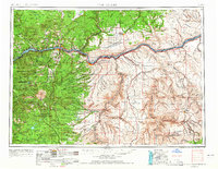
1953 · The Dalles
USGS Topo · 1:250,000
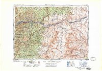
1956 · The Dalles
USGS Topo · 1:250,000
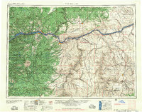
1957 · The Dalles
USGS Topo · 1:250,000
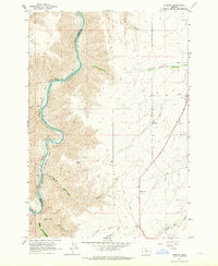
1962 · Erskine
USGS Topo · 1:24,000
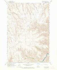
1962 · Summit Ridge
USGS Topo · 1:24,000
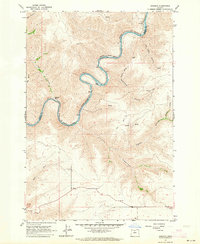
1962 · Sinamox
USGS Topo · 1:24,000
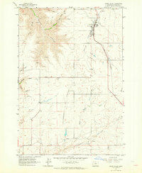
1962 · Grass Valley
USGS Topo · 1:24,000
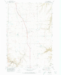
1970 · Kent
USGS Topo · 1:24,000
1970 · Rosebush
USGS Topo · 1:24,000
1971 · Moro
USGS Topo · 1:24,000