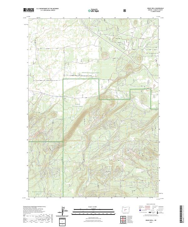
2023 Map of Grass Well
USGS Topo · Published 2023About this map
Deschutes National Forest and Fremont National Forest meet in this high-altitude landscape within Klamath County. The terrain is defined by the convergence of major public land boundaries, where the Winema National Forest also enters the southwestern reaches of the sheet. The topographic detail reveals a complex network of forest roads and contour patterns that illustrate the volcanic and high-desert geography characteristic of this part of Oregon. While primarily a managed timber and wilderness area, the presence of Mowich Spring in the southeastern quadrant indicates the critical role of isolated water sources in this dry forest environment. Researchers can trace the legacy of federal land management through the township and range lines of t24s r11e and t25s r11e, which mark the historical divisions of the Cascades' eastern slopes.
Find a feature on this map
8 named features on this map. Tap any name to fly to it.
Don’t see what you’re looking for? This feature index may not catch every label — zoom into the map to look around manually.
Map Details
Editions of this 2023 Grass Well Map
This is the sole edition of this map. No revisions or reprints were ever made.
Other maps of this area

1930 · Maiden Peak
USGS Topo · 1:125,000

1931 · Newberry Crater
USGS Topo · 1:125,000

1934 · Maiden Peak
USGS Topo · 1:125,000

1935 · Chemult
USGS Topo · 1:96,000

1935 · Newberry Crater
USGS Topo · 1:125,000

1941 · Chemult
USGS Topo · 1:125,000

1955 · Crescent
USGS Topo · 1:250,000

1957 · Crescent
USGS Topo · 1:250,000

1958 · Crescent
USGS Topo · 1:250,000

1963 · Masten Butte
USGS Topo · 1:24,000