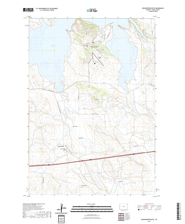
2021 Map of Grasshopper Butte
USGS Topo · Published 2021About this map
Keyhole Reservoir dominates the northern reaches of this Wyoming landscape, where the community of Pine Haven sits perched above the water. The town layout is characterized by winding residential streets like Vista Grande Dr and Brandenburg Loop, which trace the irregular topography of the shoreline. Nearby, the Pine Haven Cem and Keyhole Airport serve this localized hub, while the primary settlement of Moorcroft lies to the southwest along the Wind River-Grasshopper Butte Rd.
Find a feature on this map
52 named features on this map. Tap any name to fly to it.
Don’t see what you’re looking for? This feature index may not catch every label — zoom into the map to look around manually.
Map Details
Editions of this 2021 Grasshopper Butte Map
This is the sole edition of this map. No revisions or reprints were ever made.
Other maps of this area

1918 · Moorcroft
USGS Topo · 1:125,000

1918 · Moorcroft
USGS Topo · 1:62,500

1954 · Sunny Divide
USGS Topo · 1:24,000

1954 · Carlile
USGS Topo · 1:24,000

1954 · Gillette
USGS Topo · 1:250,000

1955 · Gillette
USGS Topo · 1:250,000

1957 · Nefsy Divide
USGS Topo · 1:62,500

1957 · Moorcroft
USGS Topo · 1:62,500

1957 · Upton
USGS Topo · 1:62,500

1958 · Gillette
USGS Topo · 1:250,000