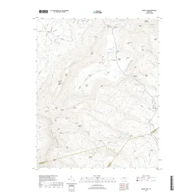
2019 Map of Grassy Cove
USGS Topo · Published 2019About this map
Grassy Cove lies at the heart of this landscape where the Sequatchie Valley terminates, creating a unique geomorphological basin in the Cumberland Plateau. The area is defined by its deep coves and karst-influenced drainage, with water disappearing into subterranean systems near Devilstep Hollow and Grassy Cove Cr. The map highlights a long-standing rural community network, evidenced by numerous family and community burial sites such as Goodstock Cem Number One, Bristow Cem, and Johnson Stand Cem.
Find a feature on this map
130 named features on this map. Tap any name to fly to it.
Don’t see what you’re looking for? This feature index may not catch every label — zoom into the map to look around manually.
Map Details
Editions of this 2019 Grassy Cove Map
This is the sole edition of this map. No revisions or reprints were ever made.
Other maps of this area

1887 · Kingston
USGS Topo · 1:125,000

1891 · Kingston
USGS Topo · 1:125,000

1892 · Pikeville
USGS Topo · 1:125,000

1893 · Kingston
USGS Topo · 1:125,000

1895 · Pikeville
USGS Topo · 1:125,000

1909 · Sequatchie Valley
USGS Topo · 1:62,500

1910 · Pikeville
USGS Topo · 1:62,500

1912 · Crossville
USGS Topo · 1:62,500

1935 · Melvine
USGS Topo · 1:24,000

1935 · Pennine
USGS Topo · 1:24,000