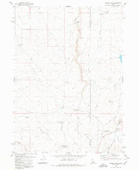
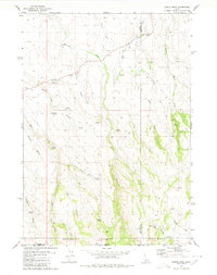
1980 Map of Grassy Hills
USGS Topo · Published 1980About this map
The House Creek Ranch and various water management features define this high-elevation landscape along the border of Owyhee and Twin Falls Counties. In 1980, this region relied on a series of specialized crossings and small reservoirs to navigate the drainages of the Grassy Hills. Significant landmarks include the Bengeochea Crossing and Marshall Butte Crossing, which indicate historical movement patterns across Devil Creek.
Find a feature on this map
23 named features on this map. Tap any name to fly to it.
Don’t see what you’re looking for? This feature index may not catch every label — zoom into the map to look around manually.
Map Details
Editions of this 1980 Grassy Hills Map
2 editions found
Other maps of this area

1955 · Twin Falls
USGS Topo · 1:250,000

1958 · Twin Falls
USGS Topo · 1:250,000

1964 · Roseworth
USGS Topo · 1:24,000

1977 · Cedar Creek Reservoir
USGS Topo · 1:24,000

1978 · Taylor Canyon
USGS Topo · 1:24,000

1979 · Salls Crossing
USGS Topo · 1:24,000
1979 · Roseworth
USGS Topo · 1:24,000
1979 · Three Creek
USGS Topo · 1:24,000

1979 · Coonskin Butte
USGS Topo · 1:24,000
1980 · Curtis Draw
USGS Topo · 1:24,000