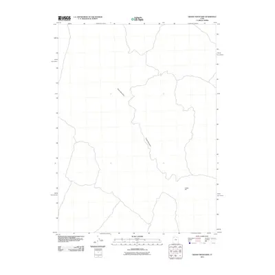
2010 Map of Grassy Mountains
USGS Topo · Published 2010About this map
The Grassy Mountains define the central axis of this Great Basin landscape, stretching across the quadrangle as a prominent topographical feature in Tooele County. This 2010 survey reflects a largely unpopulated desert environment, where the primary geographical markers are geological rather than residential. The southeastern portion of the map is punctuated by the isolated rise of Cobble Hill, which stands apart from the main mountain chain. Produced during the early 21st century by the U.S. Geological Survey, the map uses modern satellite imagery and national datasets to document the arid terrain and the sparse network of 4WD roads that navigate the basin floor. This data provides a detailed record of the natural contours and landforms before any significant infrastructure or commercial development altered the high-desert character of the region.
Find a feature on this map
2 named features on this map. Tap any name to fly to it.
Don’t see what you’re looking for? This feature index may not catch every label — zoom into the map to look around manually.
Map Details
Editions of this 2010 Grassy Mountains Map
This is the sole edition of this map. No revisions or reprints were ever made.
Other maps of this area

1885 · Tooele Valley
USGS Topo · 1:250,000

1953 · Tooele
USGS Topo · 1:250,000

1954 · Brigham City
USGS Topo · 1:250,000

1955 · Tooele
USGS Topo · 1:250,000

1958 · Brigham City
USGS Topo · 1:250,000

1962 · Brigham City
USGS Topo · 1:250,000

1973 · Ripple Valley
USGS Topo · 1:24,000

1973 · Grassy Mountains
USGS Topo · 1:24,000

1973 · Low
USGS Topo · 1:24,000

1973 · Grayback Hills
USGS Topo · 1:24,000