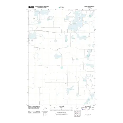
2010 Map of Grave Lake
USGS Topo · Published 2010About this map
Dykeman Union Cemetery sits centrally in this landscape of the upper Mississippi drainage, situated just north of Jack Pine Lake. This 2010 survey reveals a glacial terrain defined by an intricate network of interconnected basins and wetlands, where the Nokasippi River flows through Nokay Lake and past the Pointon Lake Dam. The naming of local infrastructure, such as Portage Lake Rd and Mail Route Rd, suggests the historical transit patterns through this water-dense region of Crow Wing County.
Find a feature on this map
58 named features on this map. Tap any name to fly to it.
Don’t see what you’re looking for? This feature index may not catch every label — zoom into the map to look around manually.
Map Details
Editions of this 2010 Grave Lake Map
This is the sole edition of this map. No revisions or reprints were ever made.
Other maps of this area

1912 · Deerwood
USGS Topo · 1:62,500

1914 · Deerwood
USGS Topo · 1:62,500

1915 · Brainerd
USGS Topo · 1:62,500

1918 · Brainerd
USGS Topo · 1:62,500

1948 · Lastrup
USGS Topo · 1:62,500

1950 · Lastrup
USGS Topo · 1:62,500

1953 · Duluth
USGS Topo · 1:250,000

1953 · Brainerd
USGS Topo · 1:250,000

1957 · Brainerd
USGS Topo · 1:250,000

1958 · Brainerd
USGS Topo · 1:250,000