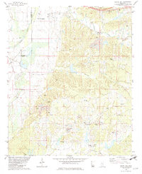
1982 Map of Gravel Hill
USGS Topo · Published 1982About this map
The boundary between Leflore Co Carroll Co divides the rolling interior of Carroll County from the more developed western flats in this early 1980s landscape. Small rural communities like Gravel Hill and Valley Hill anchor a territory marked by family-named hills and numerous family burial grounds. The prevalence of features such as Sharkey Pate Cem, McMillian Cem, and Harland Cem provides an invaluable resource for researchers tracing local genealogies and settlement patterns.
Find a feature on this map
43 named features on this map. Tap any name to fly to it.
Don’t see what you’re looking for? This feature index may not catch every label — zoom into the map to look around manually.
Map Details
Editions of this 1982 Gravel Hill Map
This is the sole edition of this map. No revisions or reprints were ever made.
Other maps of this area
1936 · Greenwood
USGS Topo · 1:62,500
1940 · Seven Pines
USGS Topo · 1:62,500
1940 · Greenwood
USGS Topo · 1:62,500

1953 · Greenwood
USGS Topo · 1:250,000

1953 · West Point
USGS Topo · 1:250,000
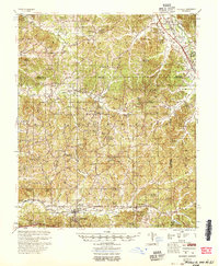
1954 · McCarley
USGS Topo · 1:62,500

1956 · Greenwood
USGS Topo · 1:250,000
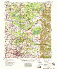
1957 · Greenwood
USGS Topo · 1:62,500
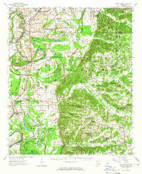
1957 · Seven Pines
USGS Topo · 1:62,500

1958 · West Point
USGS Topo · 1:250,000