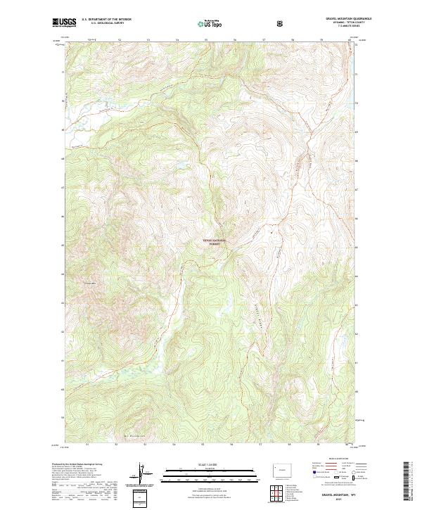
2021 Map of Gravel Mountain
USGS Topo · Published 2021About this map
Teton National Forest dominates this landscape, where high-elevation terrain is navigated primarily by an extensive network of footpaths rather than roads. The Snake River Headwaters Wild and Scenic River corridor provides a protected environment for the upper reaches of Pacific Creek, which flows through the northern sections of the map. This area is characterized by prominent peaks and ridges, including Gravel Mtn, Mt Randolph, and the elongated Gravel Ridge, all of which serve as natural landmarks for backcountry navigation.
Find a feature on this map
27 named features on this map. Tap any name to fly to it.
Don’t see what you’re looking for? This feature index may not catch every label — zoom into the map to look around manually.
Map Details
Editions of this 2021 Gravel Mountain Map
This is the sole edition of this map. No revisions or reprints were ever made.
Other maps of this area

1885 · Lake
USGS Topo · 1:125,000

1895 · Lake
USGS Topo · 1:125,000

1896 · Lake
USGS Topo · 1:125,000

1901 · Lake
USGS Topo · 1:125,000

1902 · Mt Leidy
USGS Topo · 1:125,000

1906 · Lake
USGS Topo · 1:125,000

1911 · Lake
USGS Topo · 1:125,000

1955 · Ashton
USGS Topo · 1:250,000

1955 · Driggs
USGS Topo · 1:250,000

1958 · Driggs
USGS Topo · 1:250,000