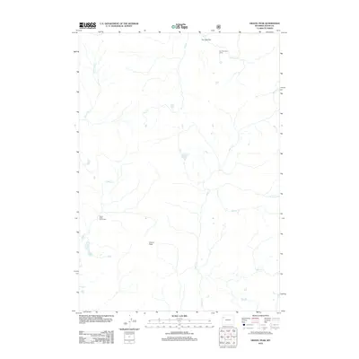
2012 Map of Gravel Peak
USGS Topo · Published 2012About this map
Gravel Peak dominates this Teton County landscape, where high-altitude water systems and remote outposts define the character of the terrain. The 2012 survey highlights the isolated nature of the region, featuring the Fox Park Patrol Cabin near Fox Park Flat in the north and the Gravel Creek Patrol Cabin to the southwest. These structures serve as critical waypoints in a roadless area crisscrossed by numerous seasonal streams and named tributaries.
Find a feature on this map
15 named features on this map. Tap any name to fly to it.
Don’t see what you’re looking for? This feature index may not catch every label — zoom into the map to look around manually.
Map Details
Editions of this 2012 Gravel Peak Map
This is the sole edition of this map. No revisions or reprints were ever made.
Other maps of this area

1885 · Lake
USGS Topo · 1:125,000

1895 · Lake
USGS Topo · 1:125,000

1896 · Lake
USGS Topo · 1:125,000

1901 · Lake
USGS Topo · 1:125,000

1902 · Mt Leidy
USGS Topo · 1:125,000

1906 · Lake
USGS Topo · 1:125,000

1911 · Lake
USGS Topo · 1:125,000

1955 · Ashton
USGS Topo · 1:250,000

1955 · Driggs
USGS Topo · 1:250,000

1958 · Driggs
USGS Topo · 1:250,000