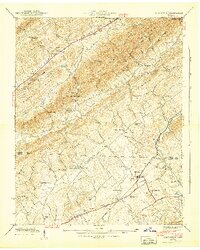
1941 Map of Graveston
USGS Topo · Published 1941About this map
The Union and Knox County line divides this landscape of ridges and valleys, where agricultural communities organized around gaps in the terrain. Near the southern edge, the Southern railroad serves Corryton, providing a transit point for the surrounding hollows. Local life at this time centers on an extensive network of rural institutions, including the Corryton School and several nearby cemeteries such as Lyle Cem and Rockydale Cem.
Find a feature on this map
67 named features on this map. Tap any name to fly to it.
Don’t see what you’re looking for? This feature index may not catch every label — zoom into the map to look around manually.
Map Details
Editions of this 1941 Graveston Map
2 editions found
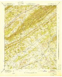
Other maps of this area

1897 · Maynardville
USGS Topo · 1:125,000

1900 · Maynardville
USGS Topo · 1:125,000

1935 · Luttrell
USGS Topo · 1:24,000

1935 · Mascot
USGS Topo · 1:24,000

1935 · Straw Plains
USGS Topo · 1:48,000

1935 · Graveston
USGS Topo · 1:24,000

1935 · Fountain City
USGS Topo · 1:24,000

1936 · Gorryton
USGS Topo · 1:48,000

1936 · Powder Springs
USGS Topo · 1:24,000

1936 · White Hollow
USGS Topo · 1:24,000