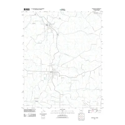
2011 Map of Gravette
USGS Topo · Published 2011About this map
Gravette serves as a central hub on this Benton County landscape, where the confluence of local roads and natural drainages like Horse Creek and Spavinaw Creek define the settlement patterns. Just to the north, Sulphur Springs sits near the Missouri state line, characterized by its position along Butler Creek. The map reveals a high density of small family and community burial grounds, including Hillcrest Cemetery, Bethel Cemetery, GAR Cemetery, and Beavers Cemetery, which offer significant value for genealogists tracing regional history. The terrain is marked by distinctive hollows such as Rocky Dell Hollow and Rattlesnake Hollow, while the presence of the Landing Strip near Nebo highlights the modern aerial infrastructure integrated into this rural corner of the Ozarks. Significant crossings like the Butler Creek Bridge and Spavinaw Creek Bridge denote key transit points across the area's intricate waterway network.
Find a feature on this map
89 named features on this map. Tap any name to fly to it.
Don’t see what you’re looking for? This feature index may not catch every label — zoom into the map to look around manually.
Map Details
Editions of this 2011 Gravette Map
This is the sole edition of this map. No revisions or reprints were ever made.
Other maps of this area

1899 · Fayetteville
USGS Topo · 1:125,000

1899 · Siloam Springs
USGS Topo · 1:125,000

1901 · Fayetteville
USGS Topo · 1:125,000

1903 · Siloam Springs
USGS Topo · 1:125,000

1904 · Siloam Springs
USGS Topo · 1:125,000

1904 · Fayetteville
USGS Topo · 1:125,000

1907 · Wyandotte
USGS Topo · 1:125,000

1909 · Wyandotte
USGS Topo · 1:125,000

1940 · Noel
USGS Topo · 1:62,500

1943 · Noel
USGS Topo · 1:62,500