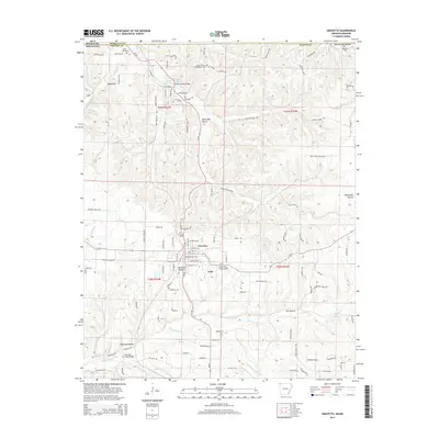
2014 Map of Gravette
USGS Topo · Published 2014About this map
Gravette serves as the primary hub in this corner of Benton County, situated along the Ar-59 corridor where local streets like Birmingham St SE and Detroit St NE define the town grid. To the north, the community of Sulphur Springs sits near the state line, while the smaller settlement of Nebo lies just south of Gravette. The landscape is deeply carved by drainage systems, most notably Butler Creek and the winding course of Spavinaw Cr in the south.
Find a feature on this map
115 named features on this map. Tap any name to fly to it.
Don’t see what you’re looking for? This feature index may not catch every label — zoom into the map to look around manually.
Map Details
Editions of this 2014 Gravette Map
This is the sole edition of this map. No revisions or reprints were ever made.
Other maps of this area

1899 · Fayetteville
USGS Topo · 1:125,000
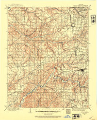
1899 · Siloam Springs
USGS Topo · 1:125,000

1901 · Fayetteville
USGS Topo · 1:125,000
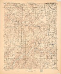
1903 · Siloam Springs
USGS Topo · 1:125,000
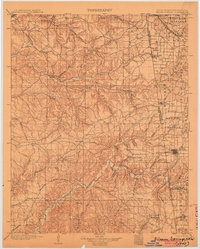
1904 · Siloam Springs
USGS Topo · 1:125,000

1904 · Fayetteville
USGS Topo · 1:125,000
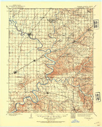
1907 · Wyandotte
USGS Topo · 1:125,000
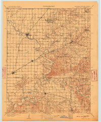
1909 · Wyandotte
USGS Topo · 1:125,000
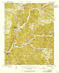
1940 · Noel
USGS Topo · 1:62,500
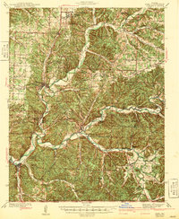
1943 · Noel
USGS Topo · 1:62,500