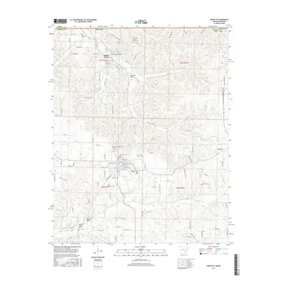
2017 Map of Gravette
USGS Topo · Published 2017About this map
The northwest corner of Arkansas is defined here by the winding course of Butler Cr and the southern edge of the Ozarks. Sulphur Springs sits near the Missouri border, an area long recognized for its mineral waters, while the settlement of Gravette serves as a local hub further south. The landscape is deeply dissected by drainages like Chalybeate Cr and Spavinaw Cr, creating a series of hollows such as Rattlesnake Hollow and Rocky Dell Hollow. Several historic burial grounds, including the notably named Grand Army of the Republic Cem and Hillcrest Cem, are scattered across the townships, providing a clear map of early community centers. Local infrastructure is marked by features like the Butler Creek Bridge and a network of county roads including Spanish Treasure Rd and Bird Mountain Rd, which follow the high ridges and valley floors between the settlements of Nebo and the surrounding farmland.
Find a feature on this map
66 named features on this map. Tap any name to fly to it.
Don’t see what you’re looking for? This feature index may not catch every label — zoom into the map to look around manually.
Map Details
Editions of this 2017 Gravette Map
This is the sole edition of this map. No revisions or reprints were ever made.
Other maps of this area
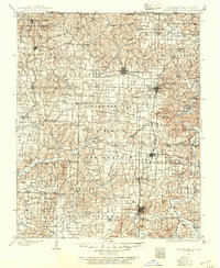
1899 · Fayetteville
USGS Topo · 1:125,000
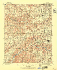
1899 · Siloam Springs
USGS Topo · 1:125,000
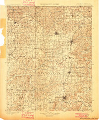
1901 · Fayetteville
USGS Topo · 1:125,000
1903 · Siloam Springs
USGS Topo · 1:125,000
1904 · Siloam Springs
USGS Topo · 1:125,000
1904 · Fayetteville
USGS Topo · 1:125,000
1907 · Wyandotte
USGS Topo · 1:125,000
1909 · Wyandotte
USGS Topo · 1:125,000
1940 · Noel
USGS Topo · 1:62,500
1943 · Noel
USGS Topo · 1:62,500