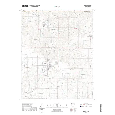
2020 Map of Gravette
USGS Topo · Published 2020About this map
Gravette serves as a central hub in this corner of Benton County, where the street grid expands near the intersection of several regional routes. The landscape transitions from the developed blocks of the town to the winding creek valleys and hollows that define the Ozark periphery. To the north, Sulphur Springs sits nestled along Butler Creek, while the western edge of Bella Vista begins to appear with its distinctive residential road network. Significant genealogical resources are scattered throughout the countryside, including the Grand Army of the Republic Cem and Hillcrest Cem. The map documents a complex drainage system where Spavinaw Cr and its tributaries carve through the terrain, bridged at points like the Spavinaw Creek Bridge. This 2020 record captures the area's mix of established small-town centers and the expanding suburban footprint of the neighboring highlands.
Find a feature on this map
98 named features on this map. Tap any name to fly to it.
Don’t see what you’re looking for? This feature index may not catch every label — zoom into the map to look around manually.
Map Details
Editions of this 2020 Gravette Map
This is the sole edition of this map. No revisions or reprints were ever made.
Other maps of this area

1899 · Fayetteville
USGS Topo · 1:125,000

1899 · Siloam Springs
USGS Topo · 1:125,000

1901 · Fayetteville
USGS Topo · 1:125,000

1903 · Siloam Springs
USGS Topo · 1:125,000

1904 · Siloam Springs
USGS Topo · 1:125,000

1904 · Fayetteville
USGS Topo · 1:125,000

1907 · Wyandotte
USGS Topo · 1:125,000

1909 · Wyandotte
USGS Topo · 1:125,000

1940 · Noel
USGS Topo · 1:62,500

1943 · Noel
USGS Topo · 1:62,500