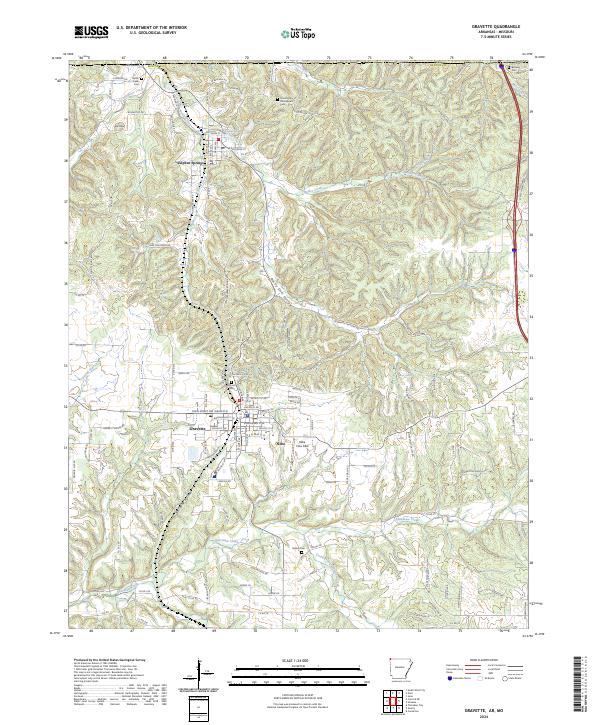
2024 Map of Gravette
USGS Topo · Published 2024About this map
Sulphur Springs and Gravette anchor the western edge of Benton County in this modern record of the Arkansas Ozarks. The landscape is defined by the winding paths of Butler Creek and Spavinaw Creek, which carve through deep drainage basins like Rocky Dell Hollow and Railroad Hollow. Cultural history is prominently preserved in the high density of memorial sites, including the Grand Army of the Republic Cem north of Butler Creek and the Beavers Cem tucked near the northern state line.
Find a feature on this map
100 named features on this map. Tap any name to fly to it.
Don’t see what you’re looking for? This feature index may not catch every label — zoom into the map to look around manually.
Map Details
Editions of this 2024 Gravette Map
This is the sole edition of this map. No revisions or reprints were ever made.
Other maps of this area

1899 · Fayetteville
USGS Topo · 1:125,000

1899 · Siloam Springs
USGS Topo · 1:125,000

1901 · Fayetteville
USGS Topo · 1:125,000

1903 · Siloam Springs
USGS Topo · 1:125,000

1904 · Siloam Springs
USGS Topo · 1:125,000

1904 · Fayetteville
USGS Topo · 1:125,000

1907 · Wyandotte
USGS Topo · 1:125,000

1909 · Wyandotte
USGS Topo · 1:125,000

1940 · Noel
USGS Topo · 1:62,500

1943 · Noel
USGS Topo · 1:62,500