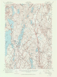
1957 Map of Gray
USGS Topo · Published 1970About this map
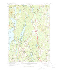
Shaker Village and the rural communities of Cumberland and Androscoggin counties appear here just as the post-war era began modernizing the Maine interior. The landscape is defined by the massive reach of Sebago Lake and Little Sebago Lake, which drove the local economy alongside the Maine Central railroad and a network of small mill settlements. At the time of this survey, the Maine Turnpike had recently carved a path through the heart of Gray, creating the modern interchange that transformed the town from a rail-and-agriculture hub into a regional crossroads.
Find a feature on this map
147 named features on this map. Tap any name to fly to it.
Don’t see what you’re looking for? This feature index may not catch every label — zoom into the map to look around manually.
Map Details
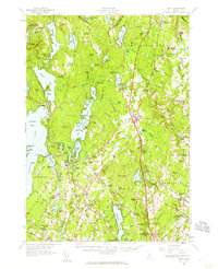
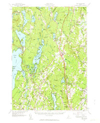
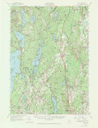
Editions of this 1957 Gray Map
5 editions found
Other maps of this area

1891 · Portland
USGS Topo · 1:62,500

1891 · Buxton
USGS Topo · 1:62,500

1892 · Freeport
USGS Topo · 1:62,500

1892 · Buxton
USGS Topo · 1:62,500

1893 · Portland
USGS Topo · 1:62,500

1893 · Casco Bay
USGS Topo · 1:62,500

1893 · Buxton
USGS Topo · 1:62,500

1894 · Gray
USGS Topo · 1:62,500

1896 · Norway
USGS Topo · 1:62,500

1896 · Sebago
USGS Topo · 1:62,500