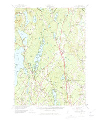
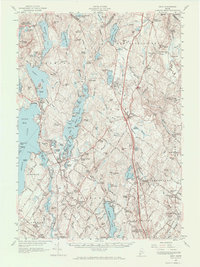
1957 Map of Gray
USGS Topo · Published 1980About this map
Shaker Village stands as a notable cultural anchor in this mid-century landscape, situated near the shores of Sabbathday Pond along the border of Androscoggin and Cumberland counties. The area reflects a transitional era where traditional Maine settlements like Upper Gloucester and New Gloucester meet the modern engineering of the Maine Turnpike. This high-speed corridor bisects the terrain, contrasting with the older transportation networks established by the Grand Trunk and Canadian National railroads.
Find a feature on this map
123 named features on this map. Tap any name to fly to it.
Don’t see what you’re looking for? This feature index may not catch every label — zoom into the map to look around manually.
Map Details
Editions of this 1957 Gray Map
5 editions found
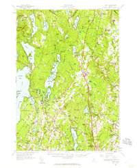
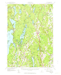
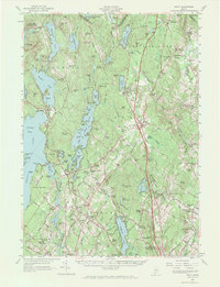
Other maps of this area

1891 · Portland
USGS Topo · 1:62,500

1891 · Buxton
USGS Topo · 1:62,500

1892 · Freeport
USGS Topo · 1:62,500

1892 · Buxton
USGS Topo · 1:62,500

1893 · Portland
USGS Topo · 1:62,500

1893 · Casco Bay
USGS Topo · 1:62,500

1893 · Buxton
USGS Topo · 1:62,500

1894 · Gray
USGS Topo · 1:62,500

1896 · Norway
USGS Topo · 1:62,500

1896 · Sebago
USGS Topo · 1:62,500