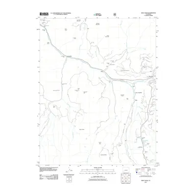
2011 Map of Gray Head
USGS Topo · Published 2011About this map
Vanadium and Lime anchor the riverfront of this 2011 survey, which reveals a landscape deeply defined by its mining heritage and modern mountain transit. The San Miguel River carves through the northern half of the region, passing through historic industrial sites like Keystone and Vance Junction. The high-altitude terrain is marked by numerous historic extraction sites, including the Joe Dandy Group Mine and the Carpenter Tunnel Mine, reflecting a long history of hard-rock mining above the Wilson Mesa. Modern development and infrastructure are present via the Telluride Regional Airport situated on a high plateau, while the Sunshine Mesa remains a prominent landform in the southern reaches. This map allows for a detailed comparison between early 20th-century mining settlements and the contemporary residential and transit patterns near Ilium and the Skyline Ranch.
Find a feature on this map
80 named features on this map. Tap any name to fly to it.
Don’t see what you’re looking for? This feature index may not catch every label — zoom into the map to look around manually.
Map Details
Editions of this 2011 Gray Head Map
This is the sole edition of this map. No revisions or reprints were ever made.
Other maps of this area

1897 · Telluride
USGS Topo · 1:62,500

1904 · Telluride
USGS Topo · 1:62,500

1909 · Montrose
USGS Topo · 1:125,000

1911 · Montrose
USGS Topo · 1:125,000

1945 · Durango
USGS Topo · 1:250,000

1953 · Mount Wilson
USGS Topo · 1:24,000

1953 · Dolores Peak
USGS Topo · 1:24,000

1953 · Placerville
USGS Topo · 1:24,000
1953 · Gray Head
USGS Topo · 1:24,000

1953 · Little Cone
USGS Topo · 1:24,000