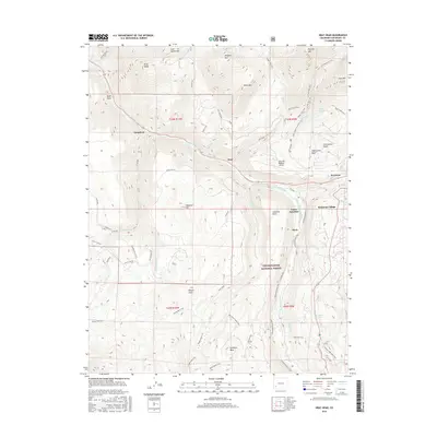
2016 Map of Gray Head
USGS Topo · Published 2016About this map
The San Miguel River cuts a deep path through this high-altitude landscape of San Miguel County, where early 21st-century recreation and aviation intersect with the remnants of older mountain life. Modern developments like Mountain Village contrast with the historic footprint of settlements like Ilium, Vanadium, and Vance Junction, which once served the regional rail and mining interests. The steep topography is defined by prominent peaks including Gray Head, Whipple Mtn, and Hawn Mtn, while the Telluride Regional Airport sits atop Deep Creek Mesa, demonstrating the unique logistical challenges of the high-country terrain.
Find a feature on this map
66 named features on this map. Tap any name to fly to it.
Don’t see what you’re looking for? This feature index may not catch every label — zoom into the map to look around manually.
Map Details
Editions of this 2016 Gray Head Map
This is the sole edition of this map. No revisions or reprints were ever made.
Other maps of this area
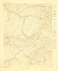
1897 · Telluride
USGS Topo · 1:62,500
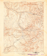
1904 · Telluride
USGS Topo · 1:62,500
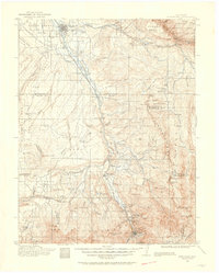
1909 · Montrose
USGS Topo · 1:125,000
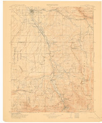
1911 · Montrose
USGS Topo · 1:125,000

1945 · Durango
USGS Topo · 1:250,000
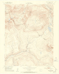
1953 · Mount Wilson
USGS Topo · 1:24,000
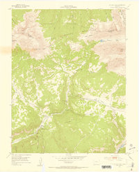
1953 · Dolores Peak
USGS Topo · 1:24,000
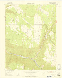
1953 · Placerville
USGS Topo · 1:24,000
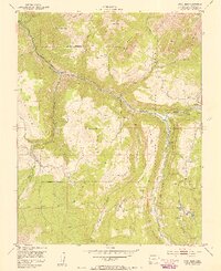
1953 · Gray Head
USGS Topo · 1:24,000
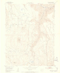
1953 · Little Cone
USGS Topo · 1:24,000