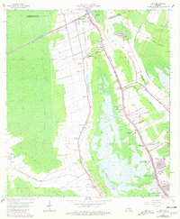
1963 Map of Gray
USGS Topo · Published 1981About this map
Magnolia Plantation, Minerva Plantation, and Rebecca Plantation highlight the persistent agricultural layout of this Louisiana landscape in the early 1960s. The area is defined by the waterways of Bayou Terrebonne and Bayou Blue, which historically dictated the ribbon-like distribution of settlements such as Schriever and Gray. These communities developed along the high ground adjacent to the bayous, bounded by the dense wetlands of Devil Swamp.
Find a feature on this map
55 named features on this map. Tap any name to fly to it.
Don’t see what you’re looking for? This feature index may not catch every label — zoom into the map to look around manually.
Map Details
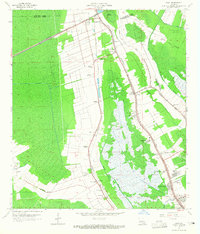
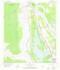
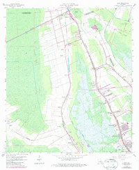
Editions of this 1963 Gray Map
4 editions found
Other maps of this area

1892 · Lac Des Allemands
USGS Topo · 1:62,500

1892 · Gibson
USGS Topo · 1:62,500

1892 · Houma
USGS Topo · 1:62,500

1892 · Thibodaux
USGS Topo · 1:62,500

1897 · Gibson
USGS Topo · 1:62,500

1932 · Lac Des Allemands SW
USGS Topo · 1:31,680

1932 · Houma SW
USGS Topo · 1:31,680

1932 · Houma NW
USGS Topo · 1:31,680

1932 · Thibodaux SE
USGS Topo · 1:31,680

1932 · Thibodaux SW
USGS Topo · 1:31,680