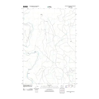
2011 Map of Grayback Mountain
USGS Topo · Published 2011About this map
The Klickitat River carves through the landscape of Klickitat County, shaping a geography defined by canyons and elevated flats. In this 2011 survey, the river is a primary corridor, bordered by Stimpson Flats and passing near the Soda Springs Campground. The terrain rises toward Grayback Mountain in the north, where isolated outposts like Kaidera Camp and Klatt Camp are connected by a network of unimproved roads and historical thoroughfares like the Glenwood-Goldendale Rd.
Find a feature on this map
27 named features on this map. Tap any name to fly to it.
Don’t see what you’re looking for? This feature index may not catch every label — zoom into the map to look around manually.
Map Details
Editions of this 2011 Grayback Mountain Map
This is the sole edition of this map. No revisions or reprints were ever made.
Other maps of this area

1904 · Mount Adams
USGS Topo · 1:125,000

1907 · Mount Adams
USGS Topo · 1:125,000

1934 · The Dalles
USGS Topo · 1:125,000

1937 · White Swan
USGS Topo · 1:125,000

1950 · Yakima
USGS Topo · 1:250,000

1953 · The Dalles
USGS Topo · 1:250,000

1956 · The Dalles
USGS Topo · 1:250,000

1957 · The Dalles
USGS Topo · 1:250,000

1957 · Klickitat
USGS Topo · 1:62,500

1957 · Goldendale
USGS Topo · 1:62,500