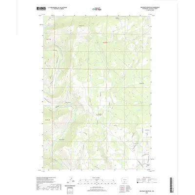
2020 Map of Grayback Mountain
USGS Topo · Published 2020About this map
Grayback Mtn and the eastern reach of the Simcoe Mountains dominate this Klickitat County landscape, where high ridge-and-canyon topography drops toward the Klickitat River. The area is characterized by high plateaus and alluvial benches like Quiney Flats and Stimpson Flats, separated by deep incisions such as Sheep Canyon and Beeks Canyon. This modern survey illustrates the persistent timber and ranching infrastructure of the region, marked by an extensive network of named forest roads including Company Rd and Glenwood-Goldendale Rd.
Find a feature on this map
41 named features on this map. Tap any name to fly to it.
Don’t see what you’re looking for? This feature index may not catch every label — zoom into the map to look around manually.
Map Details
Editions of this 2020 Grayback Mountain Map
This is the sole edition of this map. No revisions or reprints were ever made.
Other maps of this area

1904 · Mount Adams
USGS Topo · 1:125,000

1907 · Mount Adams
USGS Topo · 1:125,000

1934 · The Dalles
USGS Topo · 1:125,000

1937 · White Swan
USGS Topo · 1:125,000

1950 · Yakima
USGS Topo · 1:250,000

1953 · The Dalles
USGS Topo · 1:250,000

1956 · The Dalles
USGS Topo · 1:250,000

1957 · The Dalles
USGS Topo · 1:250,000

1957 · Klickitat
USGS Topo · 1:62,500

1957 · Goldendale
USGS Topo · 1:62,500