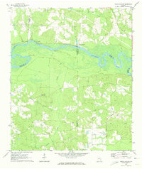
1970 Map of Grays Landing
USGS Topo · Published 1974About this map
The Altamaha River carves a winding path across this 1970 landscape, defining the borders between Montgomery, Toombs, Appling, and Jeff Davis Counties. This riverine environment is marked by several historic access points, including Halls Ferry Landing, Grays Landing, and Half Moon Landing. The presence of McNatt Falls and numerous creeks like Milligan Creek and Bullards Creek suggests a landscape shaped by water and timber resources.
Find a feature on this map
30 named features on this map. Tap any name to fly to it.
Don’t see what you’re looking for? This feature index may not catch every label — zoom into the map to look around manually.
Map Details
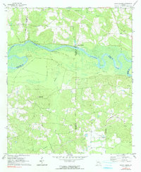
Editions of this 1970 Grays Landing Map
2 editions found
Other maps of this area

1953 · Waycross
USGS Topo · 1:250,000

1957 · Macon
USGS Topo · 1:250,000

1958 · Macon
USGS Topo · 1:250,000

1958 · Waycross
USGS Topo · 1:250,000

1964 · Macon
USGS Topo · 1:250,000

1970 · Johnson Corner
USGS Topo · 1:24,000

1970 · Alston
USGS Topo · 1:24,000

1970 · Uvalda
USGS Topo · 1:24,000

1970 · Baxley NE
USGS Topo · 1:24,000

1970 · Pine Grove
USGS Topo · 1:24,000