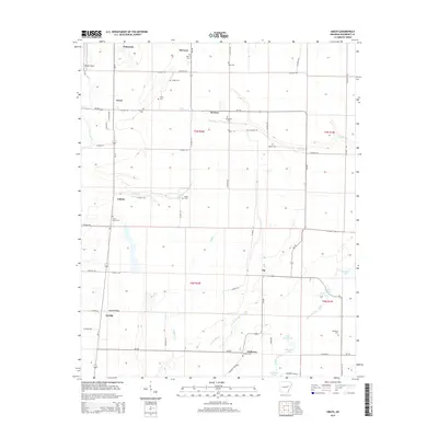
2014 Map of Grays
USGS Topo · Published 2014About this map
McCrory and Patterson anchor the northern landscape of this Woodruff County region, where the flatlands of the Mississippi Alluvial Plain are defined by a complex drainage system. The Cache River winds along the western edge, while Bayou De View and its associated wetlands, including Big Elam Lake and Little Elam Lake, dominate the southeastern corner. This area is a patchwork of agricultural fields and lowland sloughs like Locust Slough and Big Slash, interspersed with small settlements such as Grays, DeView, and Tip. Numerous family and community burial grounds, including Gray Cem, Angus Cem, and Barbee Cem, are scattered throughout the township lines of t7n r2w and t6n r2w, offering a clear map of the rural settlement patterns and local lineage. The road network, featuring Ar-17 and Ar-145, connects these disparate hamlets across a terrain marked by subtle rises like Nubbin Ridge.
Find a feature on this map
70 named features on this map. Tap any name to fly to it.
Don’t see what you’re looking for? This feature index may not catch every label — zoom into the map to look around manually.
Map Details
Editions of this 2014 Grays Map
This is the sole edition of this map. No revisions or reprints were ever made.
Other maps of this area
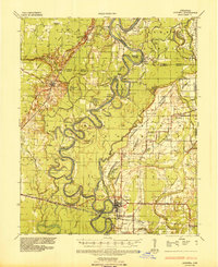
1935 · Augusta
USGS Topo · 1:62,500
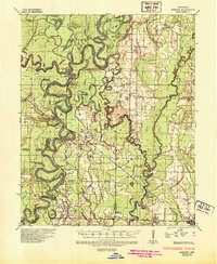
1935 · Gregory
USGS Topo · 1:62,500
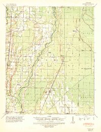
1939 · Hunter
USGS Topo · 1:62,500
1940 · Tilton
USGS Topo · 1:62,500

1953 · Memphis
USGS Topo · 1:250,000
1956 · Memphis
USGS Topo · 1:250,000
1956 · Tilton
USGS Topo · 1:62,500
1956 · Hunter
USGS Topo · 1:62,500
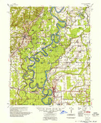
1957 · Augusta
USGS Topo · 1:62,500
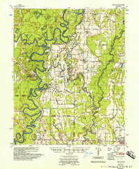
1957 · Gregory
USGS Topo · 1:62,500