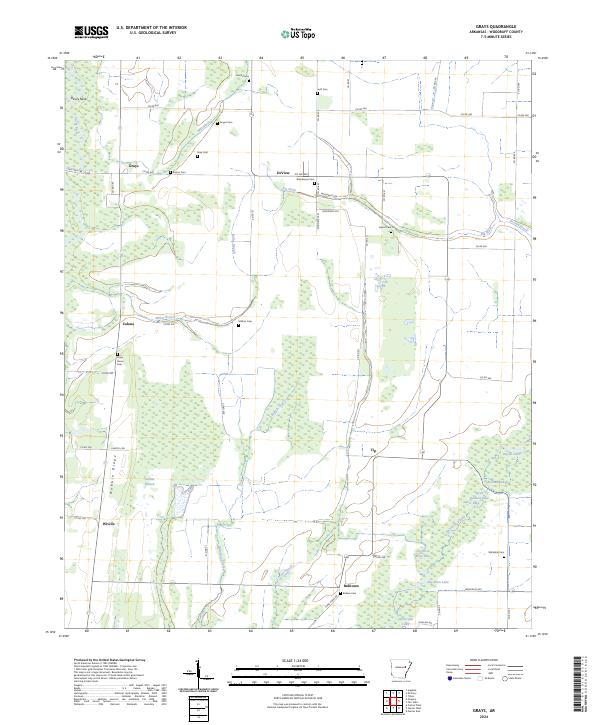
2024 Map of Grays
USGS Topo · Published 2024About this map
Cache River National Wildlife Refuge dominates this section of Woodruff County, where the meandering course of the Cache River and Bayou De View create a complex network of wetlands and oxbow lakes. Small agricultural settlements like DeView, Wiville, and Grays are interspersed between these protected lands, connected by a grid of county roads. The landscape is characterized by its low-lying drainage features, including Mill Ditch, Locust Slough, and Big Slash. For the local historian, the map preserves the locations of numerous family and community burial grounds, such as Gray Cem, Angus Cem, and Barbee Cem. The terrain is generally level, though subtle features like Devils Neck and Nubbin Ridge provide minor elevation changes amidst the bottomlands and sloughs that define the region's geography.
Find a feature on this map
71 named features on this map. Tap any name to fly to it.
Don’t see what you’re looking for? This feature index may not catch every label — zoom into the map to look around manually.
Map Details
Editions of this 2024 Grays Map
This is the sole edition of this map. No revisions or reprints were ever made.
Other maps of this area

1935 · Augusta
USGS Topo · 1:62,500

1935 · Gregory
USGS Topo · 1:62,500

1939 · Hunter
USGS Topo · 1:62,500

1940 · Tilton
USGS Topo · 1:62,500

1953 · Memphis
USGS Topo · 1:250,000

1956 · Memphis
USGS Topo · 1:250,000

1956 · Tilton
USGS Topo · 1:62,500

1956 · Hunter
USGS Topo · 1:62,500

1957 · Augusta
USGS Topo · 1:62,500

1957 · Gregory
USGS Topo · 1:62,500