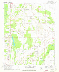
1971 Map of Grays
USGS Topo · Published 1973About this map
The Cache River corridor and the lowlands of Woodruff County define this landscape during the early 1970s. This survey records a complex network of agricultural drainage and natural waterways, where Mill Ditch and Buffalo Creek navigate the level terrain between Nubbin Ridge and the eastern bayous. Small settlements like Wiville, Colona, and Bulltown anchor the rural landscape, interspersed with numerous family and community landmarks such as Barbee Cem, Woodmans Cem, and Easton Ch.
Find a feature on this map
45 named features on this map. Tap any name to fly to it.
Don’t see what you’re looking for? This feature index may not catch every label — zoom into the map to look around manually.
Map Details
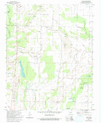
Editions of this 1971 Grays Map
2 editions found
Other maps of this area

1935 · Augusta
USGS Topo · 1:62,500

1935 · Gregory
USGS Topo · 1:62,500

1939 · Hunter
USGS Topo · 1:62,500

1940 · Tilton
USGS Topo · 1:62,500

1953 · Memphis
USGS Topo · 1:250,000

1956 · Memphis
USGS Topo · 1:250,000

1956 · Tilton
USGS Topo · 1:62,500

1956 · Hunter
USGS Topo · 1:62,500

1957 · Augusta
USGS Topo · 1:62,500

1957 · Gregory
USGS Topo · 1:62,500