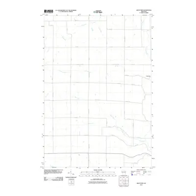
2010 Map of Graytown
USGS Topo · Published 2010About this map
Graytown sits at the eastern edge of this landscape, where the rural grid of northwestern Wisconsin meets a complex network of waterways. The terrain is defined by the drainage patterns of the Willow River and the South Fork Hay River, which are fed by smaller tributaries like Jack Green Creek, Wolf Creek, and Bolen Creek. These streams cut through a highly organized section-line road system, suggesting a landscape dominated by agricultural partitions and small-scale landholdings.
Find a feature on this map
37 named features on this map. Tap any name to fly to it.
Don’t see what you’re looking for? This feature index may not catch every label — zoom into the map to look around manually.
Map Details
Editions of this 2010 Graytown Map
This is the sole edition of this map. No revisions or reprints were ever made.
Other maps of this area

1948 · Downing
USGS Topo · 1:62,500

1950 · Downing
USGS Topo · 1:62,500

1950 · Deer Park
USGS Topo · 1:62,500

1950 · Balsam Lake
USGS Topo · 1:62,500

1950 · Turtle Lake
USGS Topo · 1:62,500

1952 · Turtle Lake
USGS Topo · 1:62,500

1953 · Stillwater
USGS Topo · 1:250,000

1955 · Stillwater
USGS Topo · 1:250,000

1958 · Stillwater
USGS Topo · 1:250,000

1965 · Stillwater
USGS Topo · 1:250,000