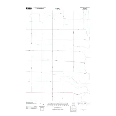
2013 Map of Graytown
USGS Topo · Published 2013About this map
Willow River and its various tributaries define the low-lying drainage patterns across this rural landscape in the early 21st century. The map depicts a grid of agricultural and local roads, such as Pickard Rd and 25th Ave, which connect isolated homesteads and farmsteads. One of the more significant geographic boundaries is Polk-Barron St, tracing the county line as it separates the townships. Small creeks like Jack Green Cr and Bolen Cr meander through the terrain, illustrating the hydrologic network that supported local farming. State and county routes, including Co Hwy-Q and Co Hwy-P, serve as the primary conduits for travel between these small rural communities.
Find a feature on this map
41 named features on this map. Tap any name to fly to it.
Don’t see what you’re looking for? This feature index may not catch every label — zoom into the map to look around manually.
Map Details
Editions of this 2013 Graytown Map
This is the sole edition of this map. No revisions or reprints were ever made.
Other maps of this area

1948 · Downing
USGS Topo · 1:62,500

1950 · Downing
USGS Topo · 1:62,500

1950 · Deer Park
USGS Topo · 1:62,500

1950 · Balsam Lake
USGS Topo · 1:62,500

1950 · Turtle Lake
USGS Topo · 1:62,500

1952 · Turtle Lake
USGS Topo · 1:62,500

1953 · Stillwater
USGS Topo · 1:250,000

1955 · Stillwater
USGS Topo · 1:250,000

1958 · Stillwater
USGS Topo · 1:250,000

1965 · Stillwater
USGS Topo · 1:250,000