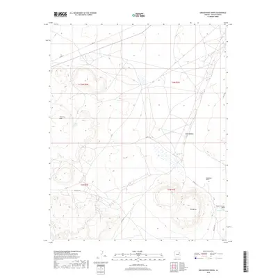
2018 Map of Greasewood Spring
USGS Topo · Published 2018About this map
Greasewood Spring and Martinez Spring serve as vital water markers in this arid section of Navajo County, defining the location of settlements and travel routes within the Navajo Nation. The terrain is characterized by the prominent elevation of Wood Chop Mesa and the distinct profiles of Twin Buttes, which rise above the Pueblo Colorado Valley. An extensive network of tribal roads, including Indian Rte 157 and Indian Rte 9004, facilitates movement across the high desert landscape, tracing the paths carved by seasonal watercourses like Steamboat Wash and the Pueblo Colorado Wash. These drainage patterns and isolated springs reflect a landscape where human geography is closely tied to the availability of water and the natural corridors between mesas.
Find a feature on this map
19 named features on this map. Tap any name to fly to it.
Don’t see what you’re looking for? This feature index may not catch every label — zoom into the map to look around manually.
Map Details
Editions of this 2018 Greasewood Spring Map
This is the sole edition of this map. No revisions or reprints were ever made.
Other maps of this area
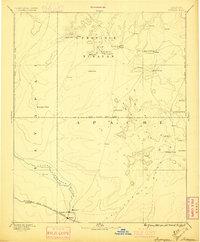
1883 · Tusayan
USGS Topo · 1:250,000
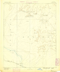
1886 · Tusayan
USGS Topo · 1:250,000
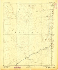
1886 · Fort Defiance
USGS Topo · 1:250,000
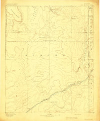
1892 · Fort Defiance
USGS Topo · 1:250,000
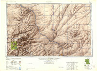
1947 · Flagstaff
USGS Topo · 1:250,000
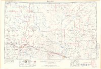
1954 · Flagstaff
USGS Topo · 1:250,000

1954 · Gallup
USGS Topo · 1:250,000

1958 · Gallup
USGS Topo · 1:250,000
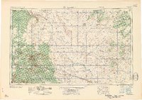
1958 · Flagstaff
USGS Topo · 1:250,000

1959 · Gallup
USGS Topo · 1:250,000